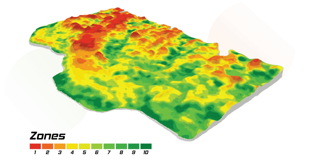
Soil, Water, and Topography (SWAT) MAPS are high-resolution soil foundation maps used to execute variable rate fertilizer, seed, soil amendment, pesticide, or precision water management. They are created using our patented process.
Soil
Factors such as soil texture, organic matter, topsoil depth, and salinity can all impact yield and fertilizer response.
Water
Water has the biggest influence on yield and fertilizer response. SWAT MAPS categorizes dry and wet areas in your field into ten different management zones.
Topography
Topography is described by landscape positions in a field (hilltops, mid-slopes, and depressions). Topography can influence soil moisture, erosion, organic matter levels, pH, and soil fertility levels.
Benefits
Increase Your Return on Investment for Applied Nutrients
Maximize Yield Potential
Reduce Lodging
Prevent Nitrogen Loss
Manage Salinity and Drainage
Manage Soil pH
Improve Soil Applied Herbicide Performance
Even Crop Staging, Maturity, and Minimize the Risk of Disease