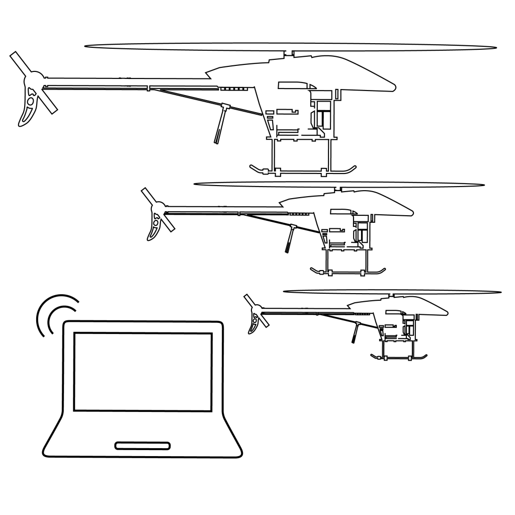
It is no secret that we develop and manufacture our own specialized helicopter drones. Adding to the advancement made in AI, we utilise Deep Learning in computer vision to bring value through our survey as a service model.
By combining both Drone and software, we have what it takes not only to capture data, but to process it in such a way to provide a specific outcome.
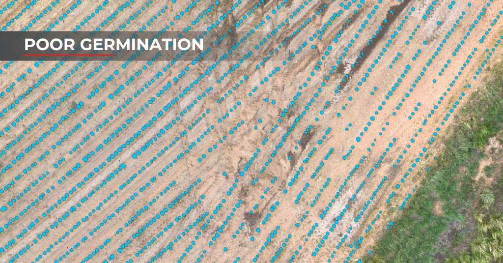
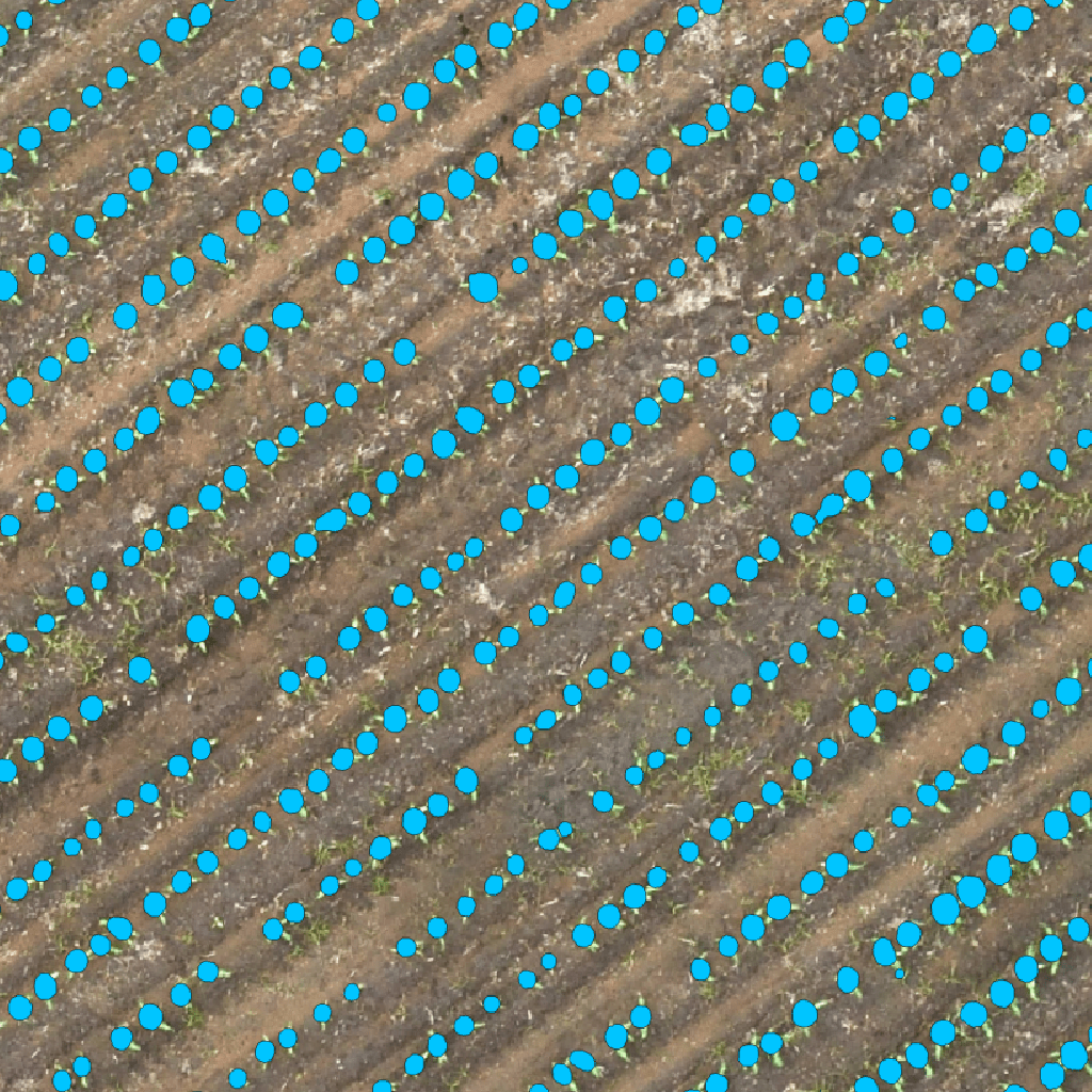
This allows us to count at plant level to assist in accurate *yield predictions.
* combined with phenotyping, soil temperature and moisture and time trend analysis.
Streamlined Process
Experience the future of data collection with A2D Geoscan.
STEP 1
DATA CAPTURE
STEP 2
HYBRID PROCESSING
(CLOUD + LOCAL)
STEP 3
ANALYTICS -
STEP 4
REPORT SHARING
STEP 5
FLEET MANAGEMENT
STEP 6
ADVANCED ANALYTICS
Reporting
Accurate Results Through Deep Learning
Machine / Deep Learning
With advancement in Machine Learning & Deep Learning we can extract information from difficult tasks that otherwise would be hard for a human being to extract manually.
Reporting
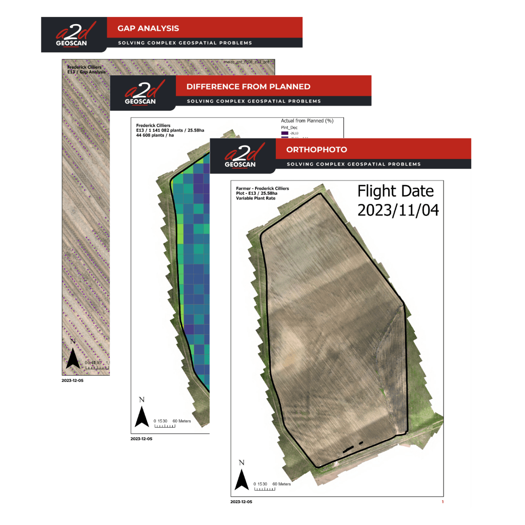
We simplify the complexity of volumes of spatial data and provide a report that is easy to understand.
Actionable Insights
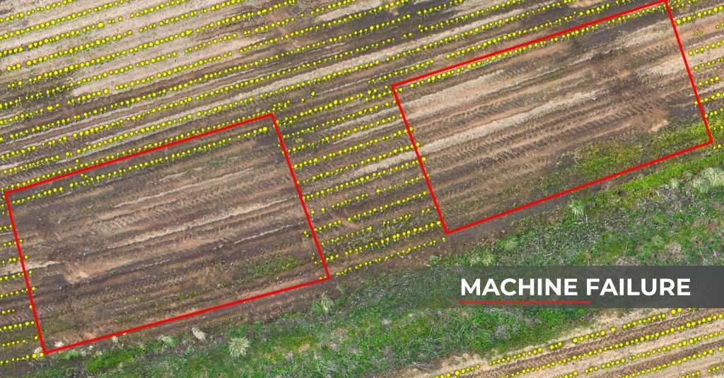
Once the data has been captured and processed we offer the ability to see what is going on from an eagles eye perspective. Shining a light on key elements and problems that may require immediate action.
This can range from spotting machine failure, human error and areas that require attention such as weeds and pests.
Early detection will allow for preventative loss of crop and give the farmer time to react and re-plant within the timeframe of initial planting times.
Introducing our Hybrid Solution
A Comprehensive Approach to Crop Yield Prediction
Drone-Based High Resolution Imagery
Utilizes drones for their superior spatial resolution, capturing detailed crop data at a micro level, unmatched by traditional methods
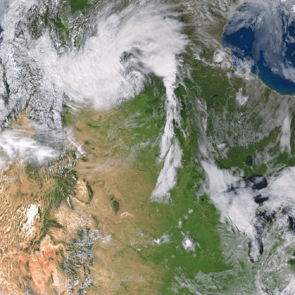
Synergistic Integration with Satellite & Weather Data
Enhances drone imagery by integrating it with broader satellite coverage and crucial weather data, creating a holistic view for accurate, timely yield predictions.
Adcanced Deep Learning
For Data Extraction
Employs cutting-edge Deep Learning techniques in computer vision to efficiently process and analyse large datasets from both drones and satellites, ensuring precise and actionable insights.
Value Adds: Optional Services
Weed/Water/Pest
WEED MANAGEMENT
WATERLOGGING
FARM MAP
Identification & Application
Leveraging advanced imaging technology like multispectral and thermal cameras has greatly influenced agriculture, especially in weed analysis for high-value crops. This approach offers a birds-eye view of the fields, facilitating swift and accurate weed detection.
Importance of Waterlogging in Agriculture
In the realm of agriculture, combating waterlogging is made possible through invaluable tools. Early detection, precise monitoring, and data-driven decision-making are integral aspects that aid in effective waterlogging management. This efficient management, facilitated by technology, enhances crop health, boosts yields, cuts down costs, and promotes more sustainable agricultural practices.
Farm Mapping
Revolutionizing the land planning and design facet of agriculture, aerial imagery plays a pivotal role in optimizing farm layouts and improving the entire supply chain. Through the capture of high-resolution aerial data, farmers can thoroughly examine topography, soil quality, and drainage patterns, gaining exceptional detail.