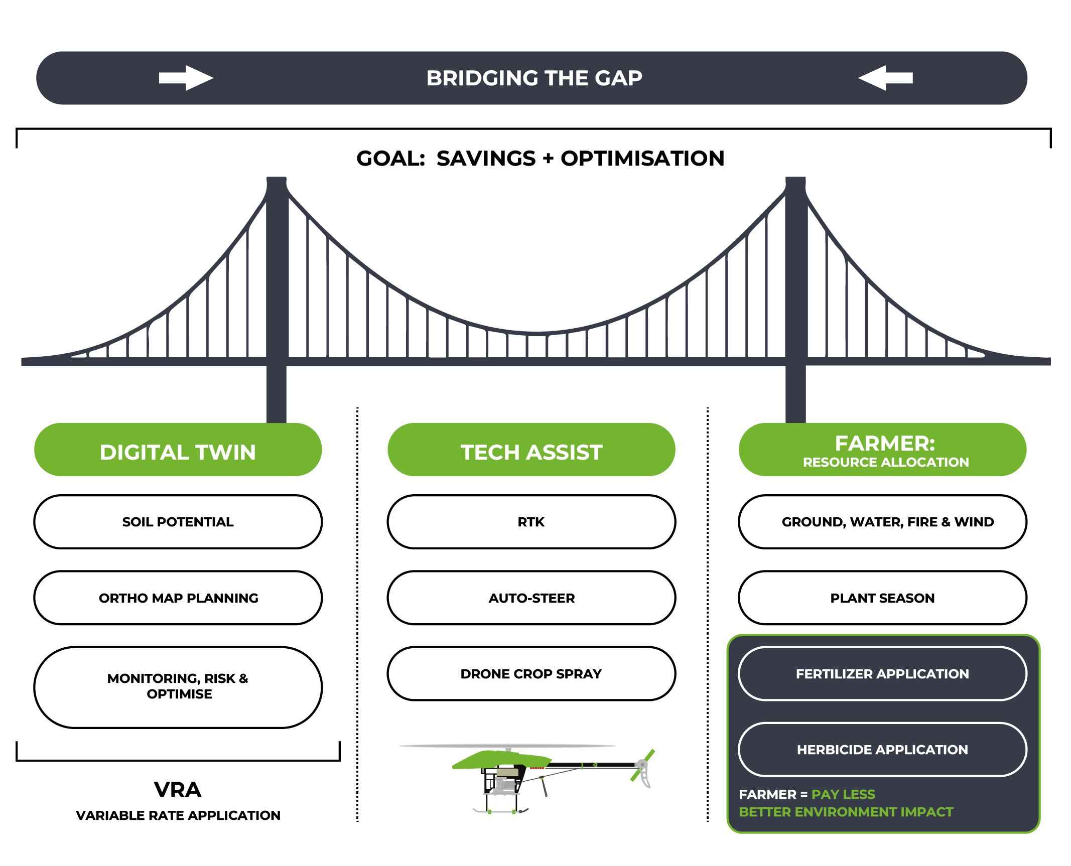
The farmer sits with many challenges. We focus on one of these, (time) and we bridge the gap between observation through application:
To measure is to know, after which we apply expertise with precision. Working with key stakeholders, we strive to achieve high precision with high accuracy.
1.
Establish a baseline and get valuable insights to see your farm from an eagles eye perspective top down.
See what cannot be seen from the ground.
2.
Export to an understandable format for both machine and man.
Therefore bridging the technology gap.
3.
Using actionable insights derived from baseline, we expand to offer a total package of savings through the utilisation of A2D’s Expertise in GIS Spatial Technologies.
No prediction modelling, actual result driven through near real time monitoring service offering.
Digital Twins
Precision Agriculture Decision Support / Resource Management Risk Mitigation
The utilization of farm maps and digital twins utilizing DSMs and DEMs offers a comprehensive approach to farm management, enabling farmers to optimize resources, increase productivity, and mitigate risks in an increasingly complex agricultural landscape.
Digital twins provide a powerful tool for precision, enabling farmers to proactively manage and mitigate waterlogging issues.
By combining real-time data, predictive modelling, and remote control, digital twins optimize water management, increase crop productivity, and promote sustainability within the agricultural sector all from the comfort of your kitchen/war room.
Assisted technologies like RTK, auto-steer, variable rate application, and drone crop spraying are vital in modern farming.
RTK ensures accurate positioning for precise field management.
Auto-steer systems automate vehicle steering, reducing errors and optimizing coverage.
Variable rate application tailors input use to field needs, enhancing productivity while reducing waste while only using what is needed through precision application.
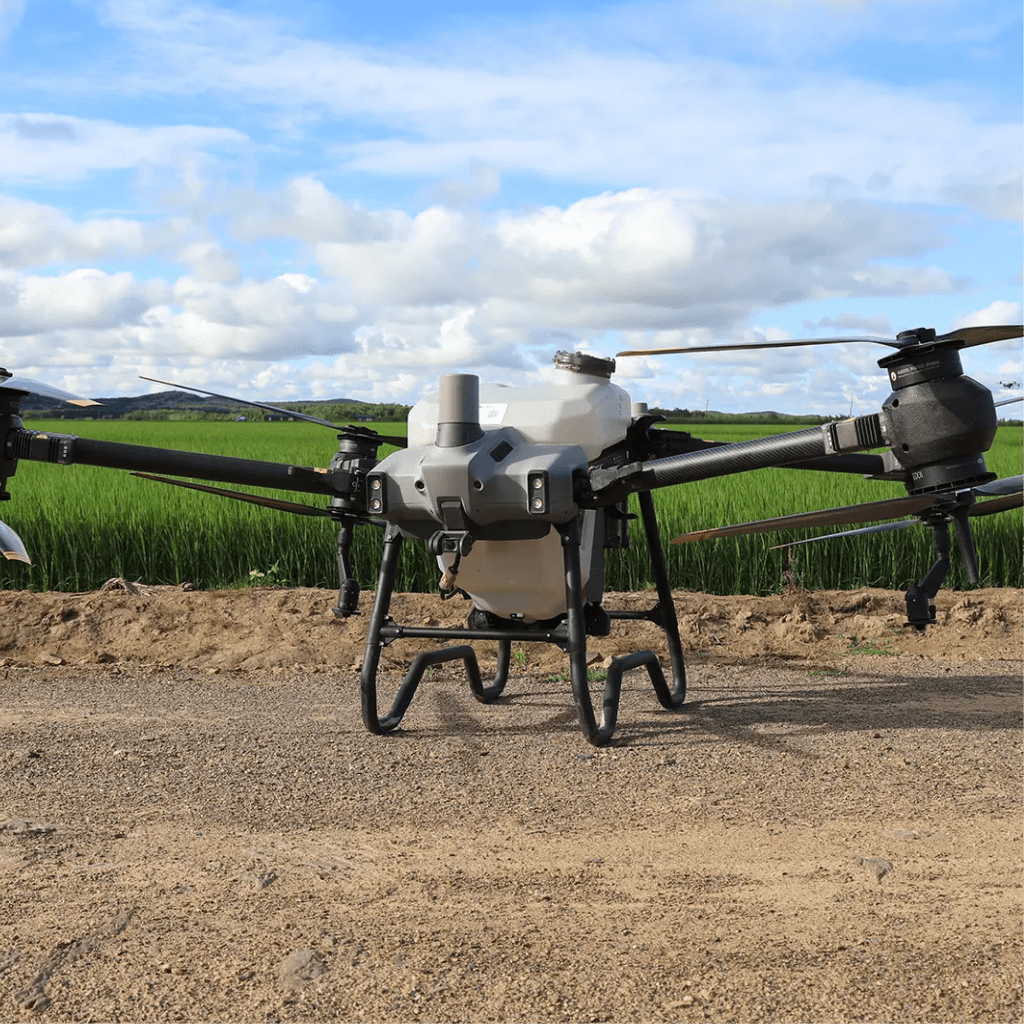
Drone spraying efficiently applies chemicals, covering large areas quickly and safely.
Farmer: Resource Allocation
Ground, Water, Fire, Wind Hardware Compaction Reduction People Management
With Actionable insights that are provided through establishment of the baseline, the farmer is given the flexibility to do more. Having more control.
Plant Season Optimisation
Fertilizer Application
Herbicide Application
Through Precision application and planning, there is lot of savings to be made.
Which is environmental friendly, while eliminating waste in the process.
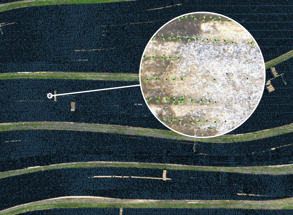
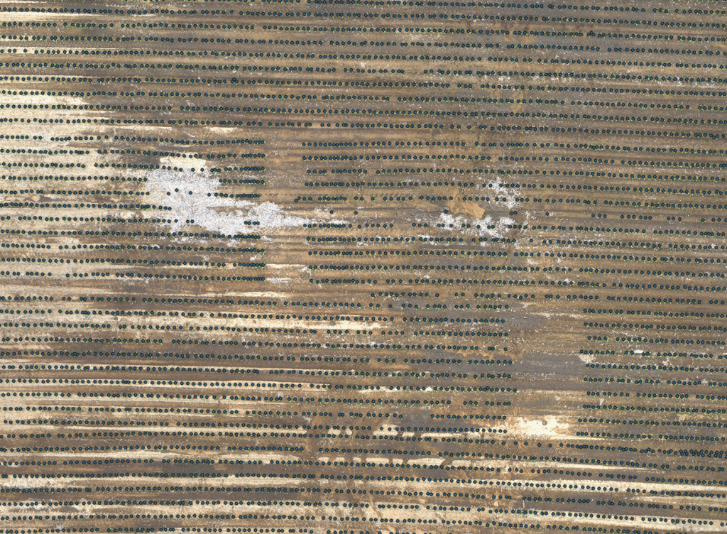
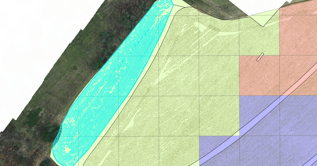
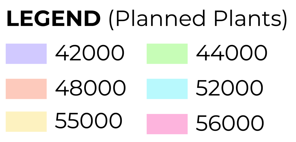
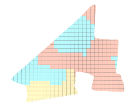
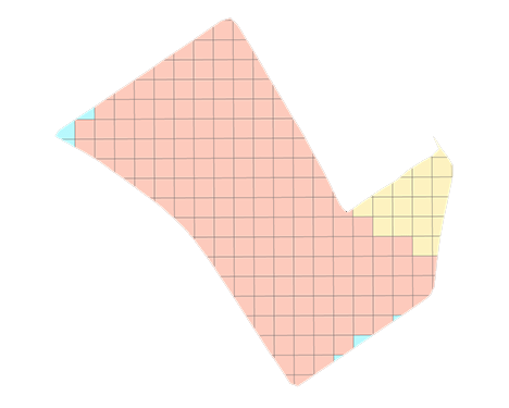
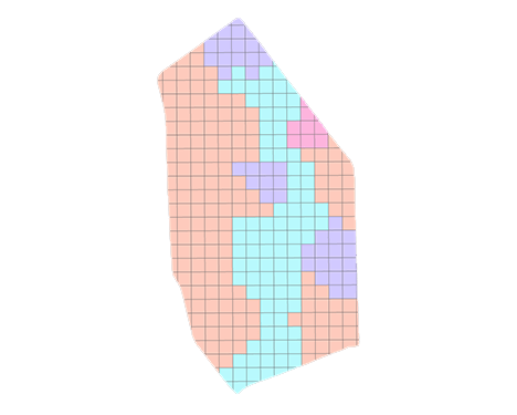
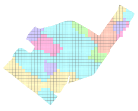
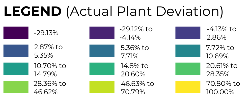
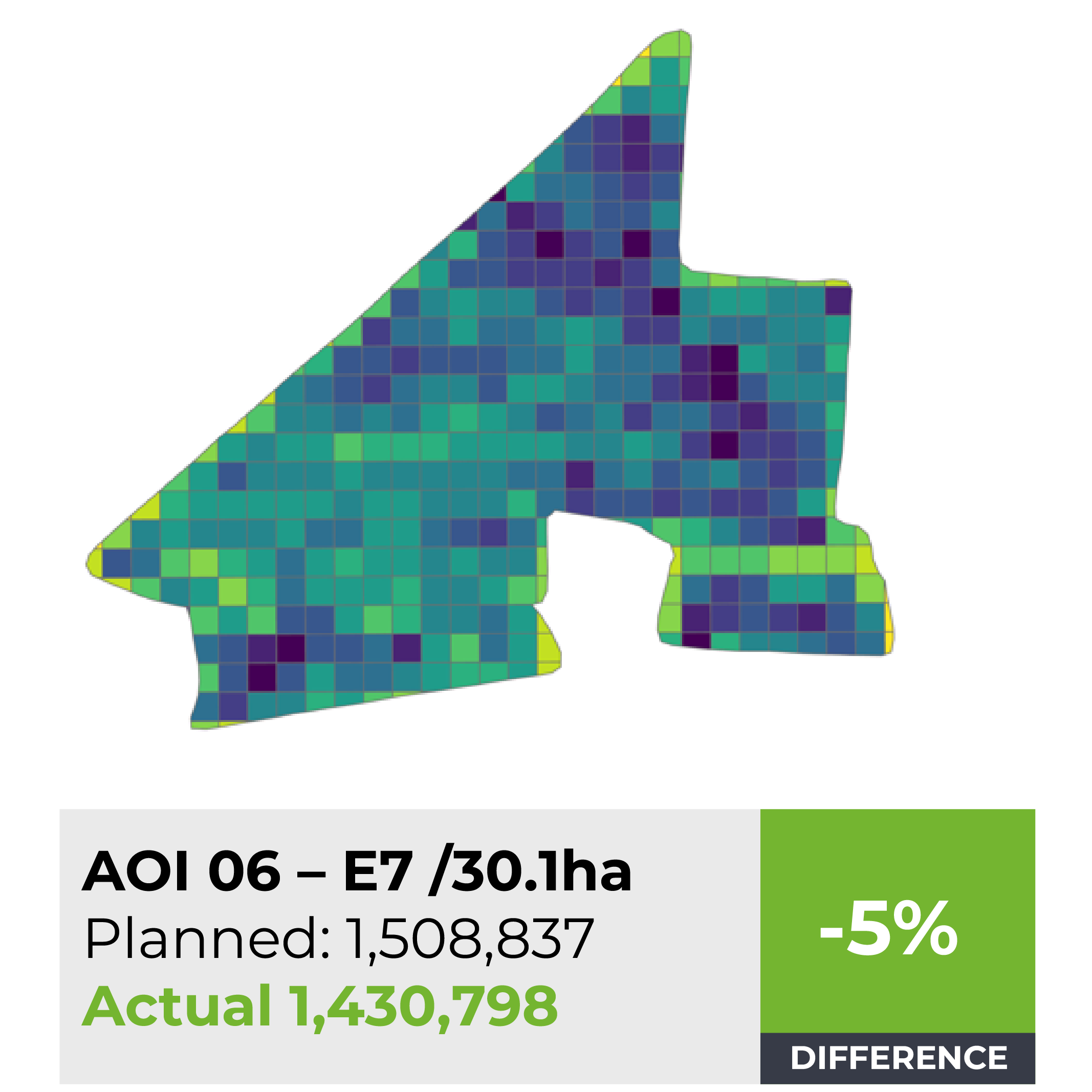
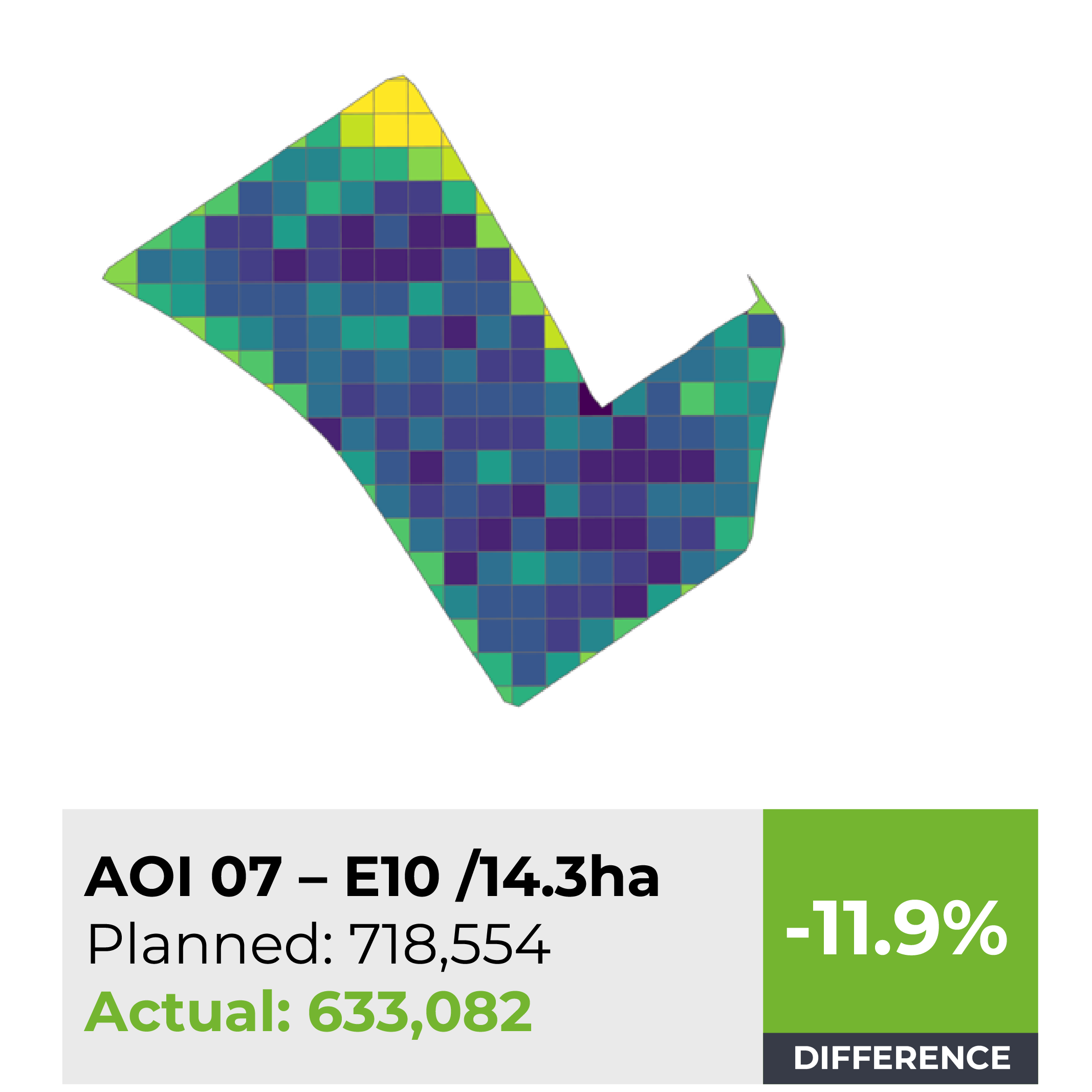
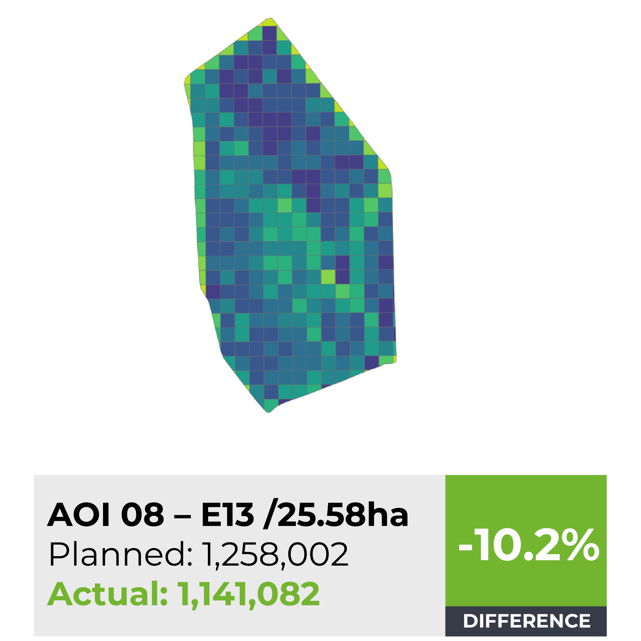
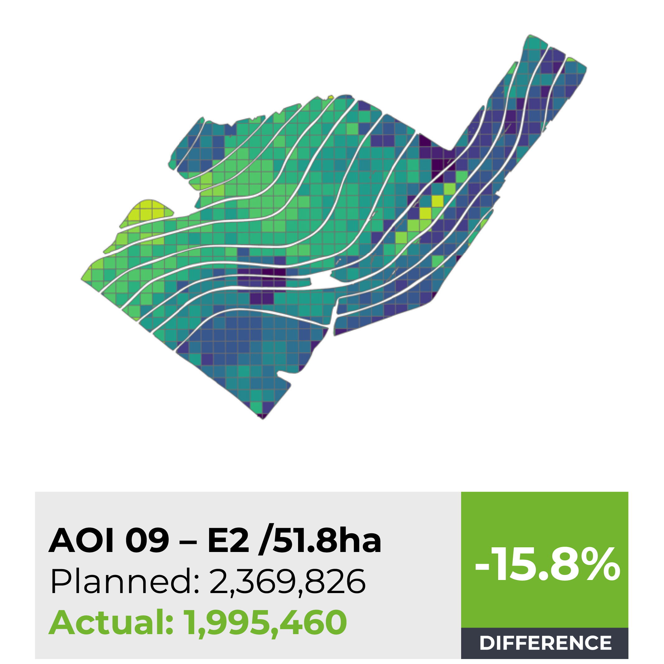
Stand Count: Counting At Plant Level
On Plant Level High Resolution Capture Machine/Deep Learning Variable Plant Rate Reporting
Ref: AOI 09 - E2 / 51.8ha
In agriculture, stand count refers to the assessment of the number of healthy and viable plants per unit area within a cultivated field. This crucial measurement is typically conducted shortly after planting and plays a pivotal role in crop management. Farmers aim to achieve an optimal stand count to maximize crop yields and resource efficiency.
Obtain exact plant identification numbers.
Enhance both immediate and future planning with precise data.
Predict yields and prevent losses more effectively.
Assess field consistency and the quality of seeds.
Compare crop performance and review historical data.