Drones, also known as Unmanned Aerial Vehicles (UAVs), have become invaluable tools in the mining industry for capturing high-resolution imagery and data. Photogrammetry, the process of creating detailed 3D models and maps from overlapping aerial images, is particularly useful in mining for various applications, including topographic mapping, volumetric analysis, thermal imaging for safety inspections, and vegetation analysis using LiDAR technology.
Topographic Mapping
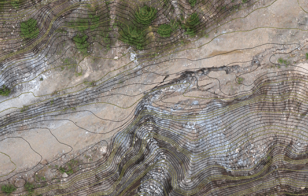
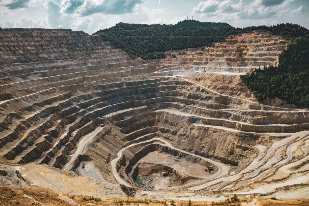
Equipped with high-resolution cameras, we can capture detailed imagery of mining sites from various angles and altitudes. By flying predefined flight paths and capturing overlapping images, photogrammetry software can stitch these images together to create accurate topographic maps of the mining area.
Benefits
Precision: High-resolution imagery combined with advanced photogrammetry algorithms produces precise topographic maps, allowing mining engineers to understand the terrain’s contours and features accurately.
Efficiency: Drones can cover large areas in a fraction of the time compared to traditional ground-based surveying methods, saving time and resources.
Accessibility: Drones can access remote or inaccessible areas of the mining site, providing comprehensive coverage for mapping purposes.
Volumetric Analysis
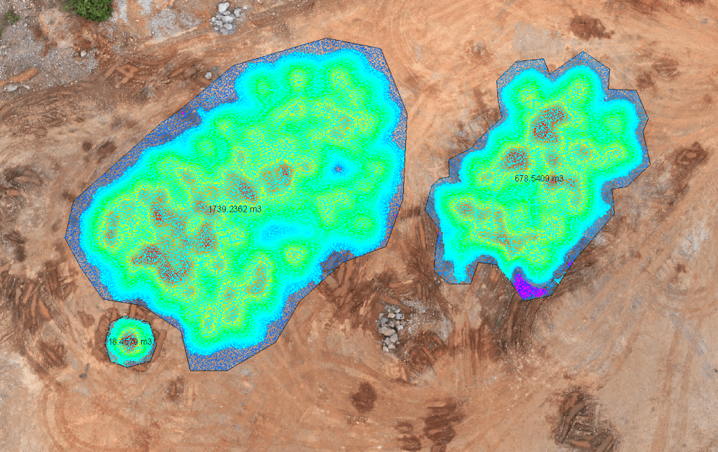
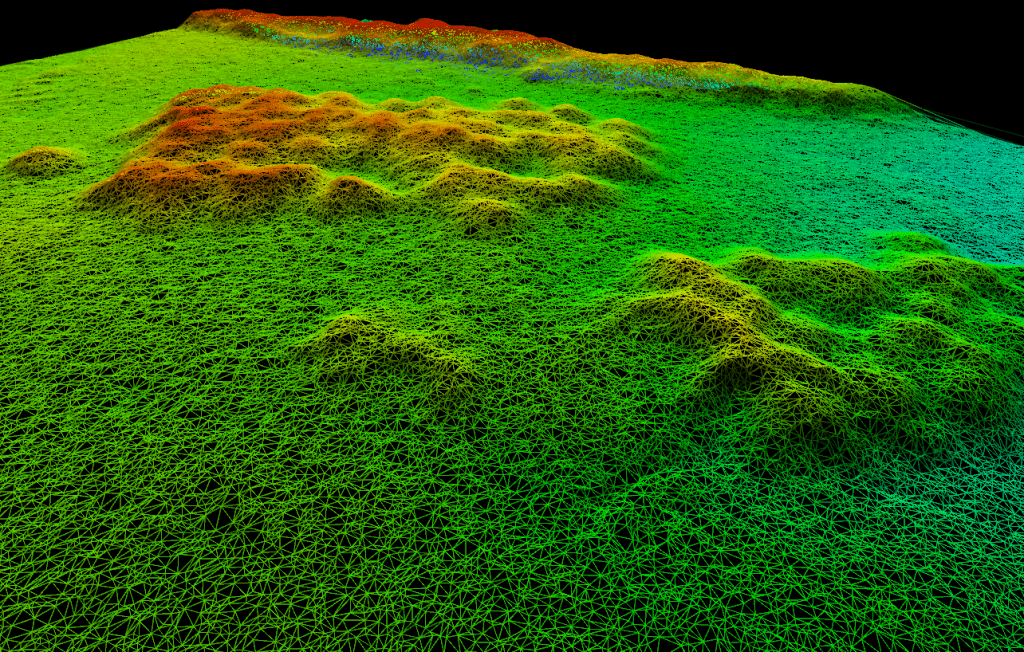
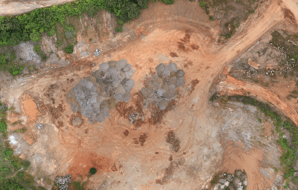
In addition to topographic mapping, detailed 3D models can be created through modern Sfm (Structured from Motion) algorithms. Ultra-high-resolution imagery is used to create highly accurate and detailed 3D models for speedy and precise volume calculation.
Benefits
Accuracy: 3D models generated from drone imagery enable precise volumetric calculations, crucial for inventory management and planning purposes.
Real-Time Monitoring: Drones equipped with live-streaming capabilities can provide real-time updates on stockpile volumes, allowing mining operators to track changes and optimize resource allocation.
Cost-Effectiveness: Regular drone-based volumetric surveys are more cost-effective than traditional methods, as they require fewer resources and can be conducted more frequently.
Thermal Imaging for Safety Inspections
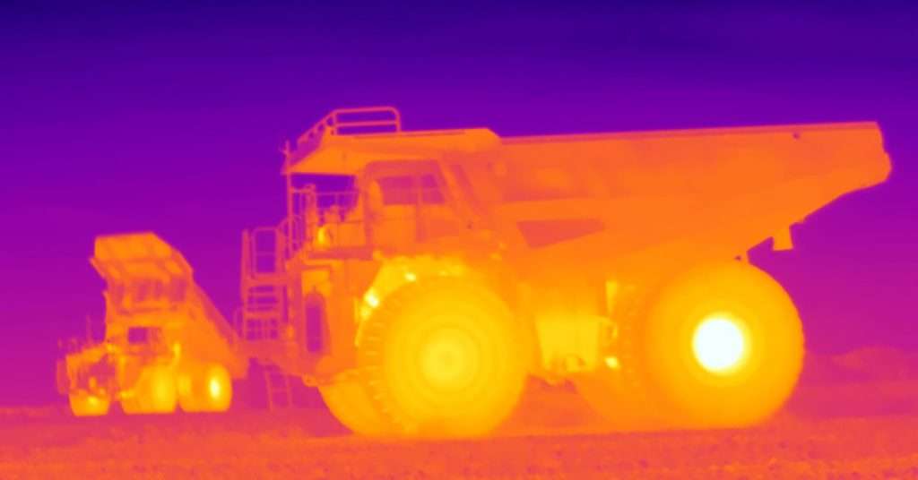
Incorporating thermal imaging capabilities into drones enhances safety inspections in mining operations. Thermal cameras can detect temperature variations, enabling the identification of potential safety hazards such as overheating equipment, hotspots in electrical systems, or even locating missing persons in remote areas.
Benefits
Early Detection of Hazards: Thermal imaging allows for the early detection of equipment malfunctions, fire risks, or other safety hazards, minimizing the risk of accidents and unplanned downtime.
Improved Safety Protocols: By identifying potential hazards before they escalate, mining operators can implement proactive safety measures and maintenance protocols, ensuring the safety of workers and equipment.
Enhanced Emergency Response: In the event of an emergency, thermal-equipped drones can be deployed to quickly locate individuals or assess the extent of damage, facilitating faster and more effective emergency response efforts.
Vegetation Analysis Using LiDAR
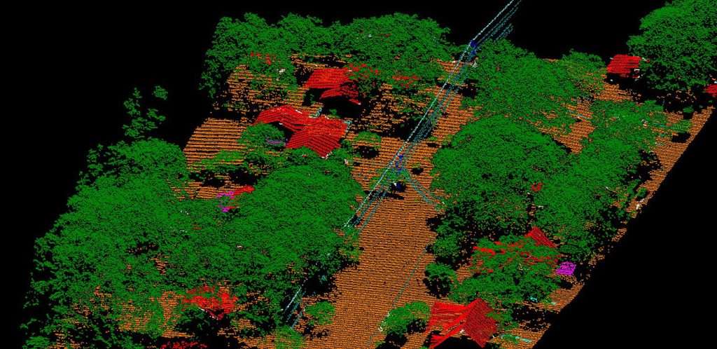
LiDAR technology mounted on drones enables detailed vegetation analysis within and around mining sites. LiDAR sends out laser pulses and measures the time it takes for the pulses to return, providing highly accurate 3D representations of vegetation density, height, and structure.
Benefits
Environmental Monitoring: LiDAR allows mining companies to assess vegetation cover and health, facilitating compliance with environmental regulations and minimizing ecological impact.
Site Planning: Detailed vegetation data from LiDAR surveys aids in site planning and restoration efforts, ensuring sustainable land use practices.
Risk Mitigation:
LiDAR can identify areas prone to erosion or landslides, allowing mining operators to implement mitigation measures to protect both the environment and infrastructure.
Disaster Management
Utilizing the unmanned Shrike helicopter, conducting surveys to assess/analyse risks and inspect high-risk environments within the mine is now safer and faster. Remote inspections ensure safe access across the mine while mapping and surveying potential hazards such as erosion, mudslides, or environmental changes within the mine. It also ensures proper time-series and record keeping for a wide range of reporting.
Benefits
Safety Enhancement: Drones minimize personnel exposure to hazards, prioritizing safety and reducing the risk of accidents, ensuring worker well-being.
Efficient Risk Analysis: Drones provide a comprehensive view, identifying hazards like erosion or mudslides quickly and accurately, aiding in proactive risk management.
Cost-Effective Surveys: Drones cover large areas swiftly, saving time and resources while improving productivity, optimizing operational efficiency