
Groblersdal, just the name is enough to stir memories of one of our most challenging and costly projects to date. From the earliest stages of planning to the final moments of execution, this magnetic (mag) survey tested our technical skills, endurance, and ability to adapt to unpredictable conditions on our on-going mission to completing the project.
A Survey Like No Other
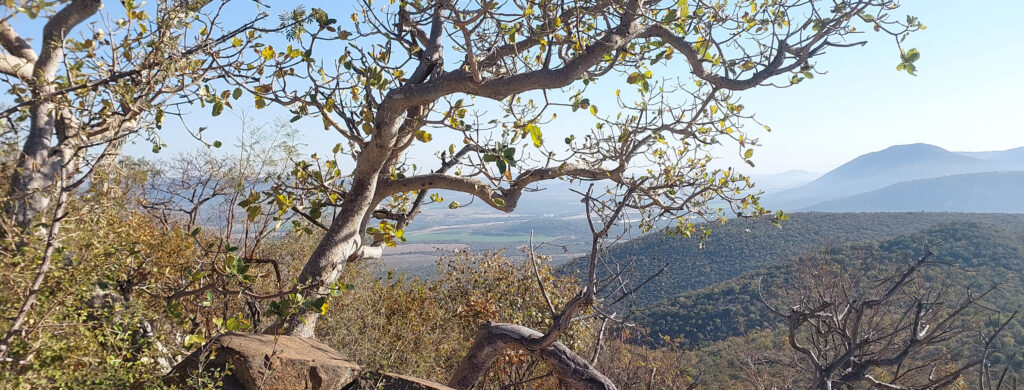
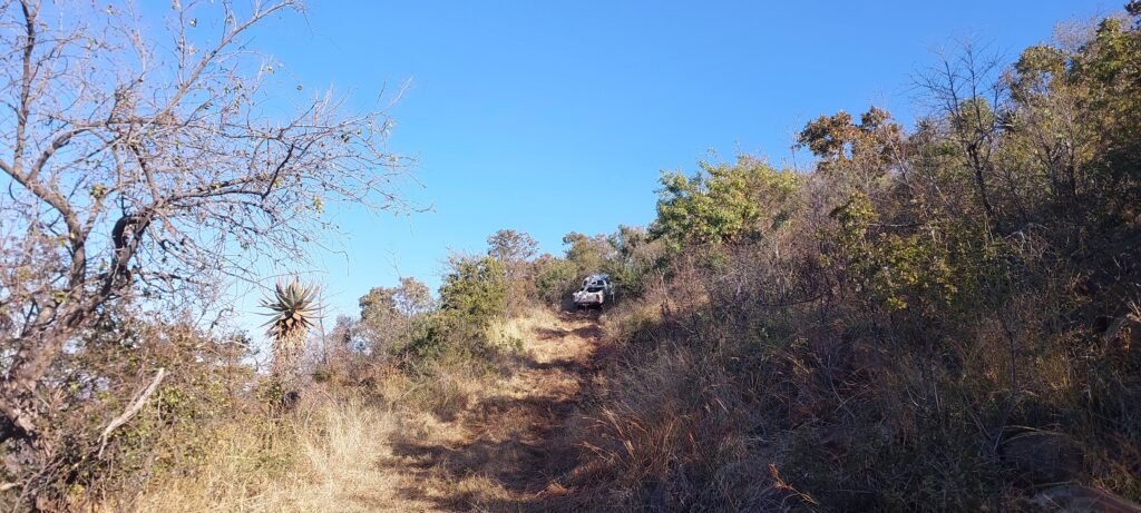
This wasn’t your typical drone survey. The area in question was remote, rugged, and densely overgrown, making conventional methods nearly impossible. The terrain was covered with thorn bushes, rocky paths, and steep inclines. Worse yet, the access roads had severely degraded since our last visit, thanks to ongoing mining activity and heavy machinery tearing up the ground. What was once manageable quickly became difficult.
A 4×4 became non-negotiable. Without it, even reaching the site would have been impossible. The roads, vegetation, and overall terrain meant that everything, from personnel to equipment, needed to be prepared for off-road conditions.
The Connectivity Challenge
Beyond the physical access, the real challenge lay in maintaining reliable communications. The mountainous terrain obstructed signals, threatening the constant telemetry required for safe and efficient drone operations. Without stable telemetry, the drone would automatically initiate a “Return to Launch” (RTL) after a set time, a contingency that is crucial and practical given the dense vegetation that made physical collection very difficult otherwise not knowing where the drone would be.
This is where we got creative.
Mesh Networking to the Rescue
To overcome the signal limitations, with the use of our strategic partners Rajant and Poynting to deploy a robust, scalable radio mesh network. We created a flexible setup that could be configured as either fixed towers or mobile (roaming) units which we tested alongside the survey.
Our goal was simple: maintain uninterrupted telemetry and control, no matter the landscape.
Tower Setup in the Wild
Before heading into the field with our strategic planning, we completed RF calculations back at the office to map out the ideal tower placements. This advance planning proved crucial. We identified two locations that were accessible within 50 meters of drivable roads, making transport and setup significantly more manageable.
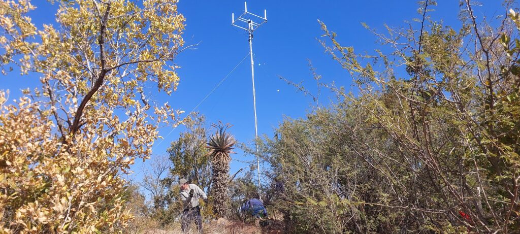
Once in the field, we loaded the two 8 meter towers to the vehicle and climbed the mountain to begin the installation process. Despite the tough terrain, we managed to unload equipment and make our way through the dense bush. Although the towers were designed for a two-person setup, we quickly discovered that three people were necessary due to the uneven ground and difficulty moving around the vegetation.
The first tower setup was tense. Wind conditions forced us to fasten the ropes and cables carefully to ensure stability. But after securing everything, it held firm for the full duration of the survey. With lessons learned, the second tower installation went much smoother.
Home Base Connectivity
Returning to base, we discovered we were missing a critical component, a battery for the radio on our helicopter drone. Rather than driving all the way back to Pretoria, we made a pit stop in Middelburg, where a local contact helped us source a replacement. That quick thinking saved hours of backtracking. We also took the opportunity to restock supplies before heading back to the survey area.
The Flight Test
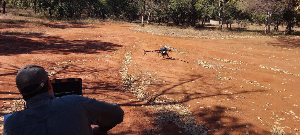
Early the next morning, we conducted our pre-flight checks and initial test flight. Once confident everything was functioning correctly, we installed the mag equipment, suspended under the drone via a sling-mounted frame, and used GEM Systems to collect baseline readings for our geophysicist, Cas Lotter.
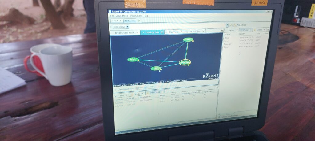
With the mesh network in place, we were able to offset telemetry dropouts on the 868 MHz band. Thanks to our fail-safes, if the drone lost all communications, it would automatically return home. However, that backup never had to be used. Over the 40-minute flight, the mesh radios maintained flawless connectivity, even as expected telemetry losses occurred outside of the Rajant network.
Mission Accomplished
With a successful first flight behind us, we wrapped up the day around a campfire and celebrated with a well-earned braai under the stars. The network performed as designed, the terrain was conquered, and the data was collected with precision.
What started as a logistical headache transformed into a prime example of teamwork, innovation, and resilience in the face of environmental adversity.
With further Flights ongoing we set forth to complete what we could so that we can send the data off to Cas Lotter our Geophysicist for processing and feedback.
Tower Retrieval
Now that it was time for us to leave, we had to climb the mountain once again to take down the two towers we had set up a few days earlier. We missed the first marked spot/path we had originally used, and although we were close to the tower based on GPS confirmation, we split up and made our way through the shrubbery and trees to the top, only to realize we weren’t in the right location.
From where we stood, we could see the tower in the distance, but we had to push through thick vegetation to reach it. It took some time, but we eventually made our way there.
Taking down the towers was much easier than the installation. We managed to safely dismantle both, then headed back to base to prepare for the long journey back to the office and complete our final checks before departure.
Conclusion
Although we still have much work ahead of us to complete the full survey, the technical aspects of the project that allowed us to successfully operate has now become the final stepping stone to completing the project with a new sense of comfort. Questions we once had, no longer a concern and now we face the next steps that lay before us.